Strategic Air Captures
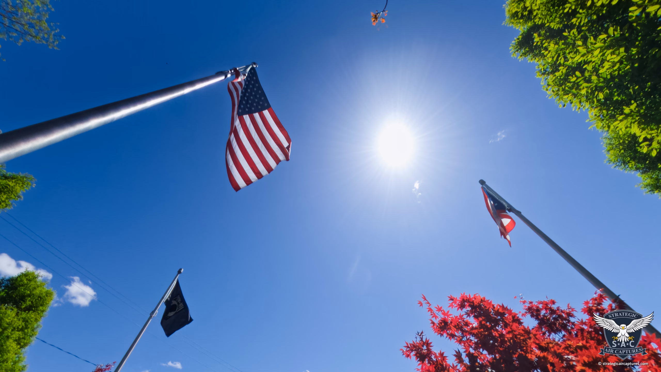
Stunning Drone Photography in Northeast Ohio
From breathtaking real estate videography to precise infrastructure inspections, we provide expert drone services across Northeast Ohio tailored to your unique needs.

Why choose Strategic Air Captures?
Certified Pilot
Our Company Founder and Pilot, Jason J Rister, is an FAA-certified small UAS/drone pilot (14 CFR Part 107).
As such, we strive to uphold the highest standards of aviation safety and to be a good steward of our small part in the National Airspace System.
Commercially Insured
We carry commercial general liability insurance, providing peace of mind for every mission, from residential real estate to complex infrastructure inspections. Certificate of Insurance (COI) available upon request for commercial clients.
Cutting-Edge Technology
We use the latest drone technology to deliver high-quality imaging and data collection.
State-wide Availability
While based in Cortland, we are proud to serve clients throughout Northeast Ohio, including Warren, Niles, Youngstown, and beyond.
Services We Provide
Complete Real Estate Photography & Media Services
We are your one-stop property marketing partner. From our signature aerial drone photography and video to magazine-quality interior photography and immersive 360° Virtual Tours, we provide the complete visual assets you need to make your listings stand out and sell faster.
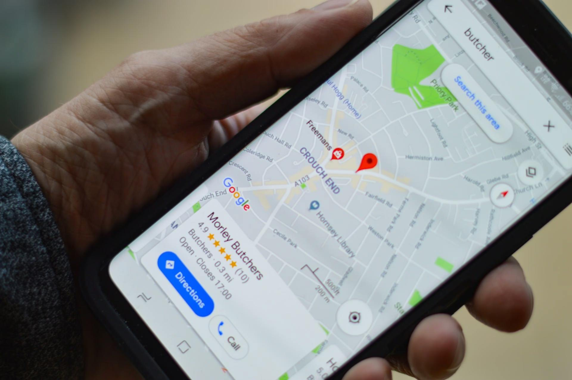
360° Virtual Tours for Google Street View
Bring our high-quality photography from the sky to the street. Invite customers inside your business 24/7 with an interactive 360° virtual tour published directly to Google Maps and Search.
Property & Infrastructure Inspections
Conduct detailed inspections of residential and commercial roofs, towers, antennas, windmills, solar arrays, bridges, and other structures with precision and safety.
Damage Assessment
Conduct aerial damage assessment after fires, floods, storms, earthquakes, and other natural disasters for insurance claims.
Aerial Photography & Videography
Capture stunning images and video from the sky, perfect for real estate, events, and more.
Custom Drone Solutions
Tailor our drone services to fit your specific project requirements and achieve exceptional results. Contact us today to plan a Mission!
Search & Rescue Services
We can assist in locating lost persons and lost pets, livestock, and other animals using the latest aerial thermal imaging technology.
Thermal Deer Recovery
Lost the trail? Our FAA-certified pilots use advanced thermal drones to legally find downed deer for hunters across Northeast Ohio, day or night during deer season. Don’t lose your harvest.
What Our Customers Say
Latest News
Honoring Our Fallen Heroes: Announcing the Cortland Veterans Memorial 3D Virtual Tour
Memorial Day is a sacred time of reflection. It is a day dedicated to remembering the brave men and women who made the ultimate sacrifice in service to our country. Their courage secured our freedom, and their legacy deserves to be preserved and shared with…

In the Press: Cortland Drone Service Provider Featured in National Cybersecurity Policy Report for Advocacy Against FCC Drone Ban
FOR IMMEDIATE RELEASE Cortland Drone Service Provider Featured in National Cybersecurity Policy Report for Advocacy Against FCC Drone Ban CORTLAND, OHIO — May 15, 2026 — Northern Shore Technologies LLC (d/b/a Strategic Air Captures), a premier Ohio provider of…
Expanding Our Horizons: Introducing 360° Google Street View Tours
From the sky to the street, Strategic Air Captures is growing to meet the visual marketing needs of Northeastern Ohio. At Strategic Air Captures, we built our reputation by providing breathtaking, high-precision aerial perspectives. Whether it is visually inspecting…